

Published June 3, 2026 03:10AM
It feels like wading through a sea of green. With every step, sword ferns and prickly branches slap at my pant legs and sleeves. I can’t see the ground, so I search for footing between slick rocks and spongy mosses. Overhead, towering conifers rise out of sight. “A tree with a shrinking range,” I ponder, “that has a beautiful yellow wood with an odd smell.”
I’m following an unmaintained trail above Big Creek in Olympic National Park. My destination is a remote mountainside that’s home to the nation’s largest yellow cedar. Today, the species is called Alaska cedar, and it’s not common this far south, except for scattered groves at higher elevations. Yet, long ago, when the Olympic Peninsula was colder and snowier, it might have grown more widely. If so, yellow cedar could help unravel a 300-year-old mystery.
A ranger said no one else would be out here, despite it being a Saturday in early October. However, after several tiring hours, I pass two hikers from a small group. They’re retreating after failing to get past Big Creek, which is known for regular flooding. Upon reaching the rough crossing, I find a defeated college kid sitting on a log.
“Way tougher than I thought,” he says.
I completely agree and look the part, with sweat-soaked clothes starting to fray. It’s already 3:30 p.m. I can’t make it today, but I decide to scout a little farther. The footbridge is long gone, and the lower slope is stripped bare, leaving a 50-foot cliff of jagged rock and clinging trees.
Down in the streambed, a log pile looks somewhat traversable. It isn’t pretty, but I scoot across one trunk like I’m riding a horse. After nearly impaling myself on a branch, I clamber up the cliff using roots and rocks like a ladder. High above, I flop sideways onto the trail.
“This better be worth it,” I gasp, spitting dirt.
The switchbacks up the mountainside are littered with shattered wood and twisting branches. When a rotten log collapses beneath me, I decide to turn back. I have 24 hours to try again. Major storms are on the way, signaling the arrival of the rainy season.
That’s when I meet a strong trio of club hikers heading back after reaching an alpine lake. A twentysomething woman from Alaska is leading two young men from India, who’ve spent time trekking in the Himalayas.
We hit it off, so I join them for an exhausting march back to the trailhead. As we progress, I inquire about yellow cedars. The trio only briefly noticed the giant. Unfortunately, one of them believes that it’s dead.
“Why do you want to see those trees so bad?” the leader asks.
“Have you ever heard of Moncacht-Apé?” I reply.
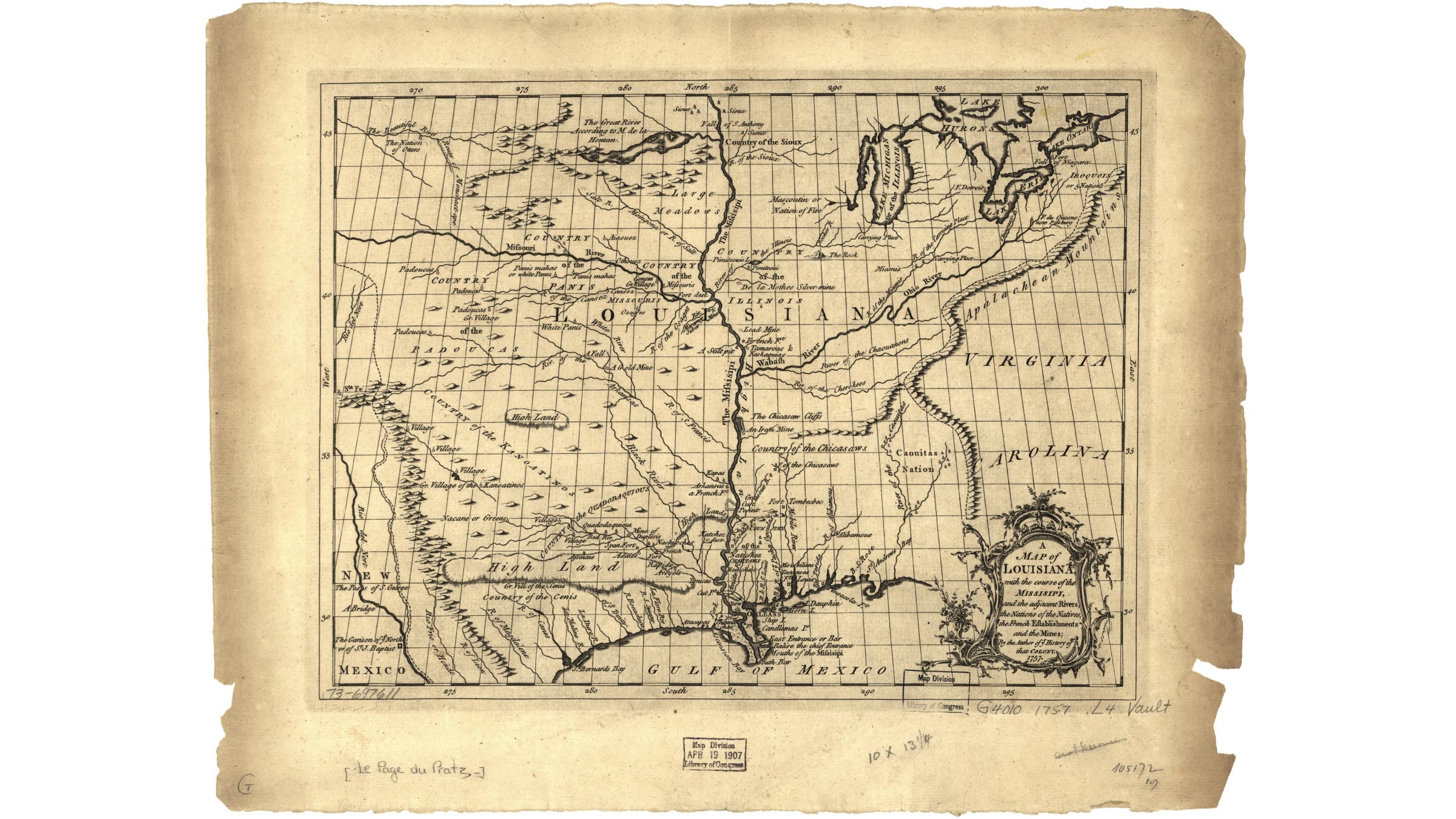
Several years ago, while homebound for a time, I was researching some mysteries about the Lewis and Clark expedition for a possible book. I wondered why the leaders expected an easy crossing of the Continental Divide at the unmapped headwaters of the Missouri River. A few paragraphs by historian David Lavender suggested the belief might have been influenced by the journey of Moncacht-Apé.
This Yazoo tribesman from the Mississippi Valley claimed he crossed the continent around the late 1600s. During the mid-1720s, Moncacht-Apé told his story to French colonist Antoine-Simon Le Page du Pratz, describing eight years of traveling mostly on foot and occasionally in dugout canoes to reach the eastern and western coasts. Along the way, he befriended numerous tribes, learning their languages and the best routes to follow.
After Le Page returned to France, he published the account in his 1758 book, Histoire de la Louisiane. For 50 years, Moncacht-Apé’s journey was generally accepted as true. At President Thomas Jefferson’s suggestion, Meriwether Lewis carried a copy of the English translation on his 1803 to 1806 expedition.
Le Page wrote that Moncacht-Apé walked up the Missouri River for about six weeks before turning north. After a gradual crossing of the Continental Divide, he reached a river flowing west toward the Pacific. That’s not how it went for Lewis and Clark. In 1805, they spent an exhausting month surmounting the Bitterroot Range in present-day Idaho. With the upper Missouri now mapped, Moncacht-Apé’s descriptions didn’t match.
Afterward, the Yazoo explorer’s story was dismissed as a fraud by United States historians. How could a primitive “savage”—as Native people like Moncacht-Apé were often racistly derided—ever have accomplished the same feat as national heroes Lewis and Clark? Some observers suggested Le Page invented the story. Occasional believers argued the account was vague but still plausible.
Fascinated by this exploration mystery, I tracked down the few translations of Moncacht-Apé’s account. I was struck by two things. First, it sounded genuine to me—similar to other published accounts by the earliest white explorers into the West, who often didn’t know exactly where they were. Second, from my own travels, I recognized Moncacht-Apé’s northwest-trending route. Except he wasn’t describing the Missouri River. He was describing the Platte.
The Platte is a major river of the Plains, with its headwaters found high in the Rocky Mountains. Along with two principal tributaries, the North Platte and Sweetwater, the Platte was the preferred route for westward migration during the mid-1800s. It was called the Oregon Trail, which most Americans would forget was based on an Indigenous trading route that existed for centuries.
The idea that Moncacht-Apé followed the Platte made perfect sense. Lewis and Clark ascended the Missouri in boats because they were searching for the mythical Northwest Passage, an interior water route that didn’t exist. Moncacht-Apé went on foot, and being a friendly interpreter, he would have learned about the better path.
Three centuries later, I was stunned. With a simple route shift roughly 300 miles to the south, the pieces of a long-forgotten mystery were falling into place. Was it too late to investigate? Moncacht-
Apé left plenty of clues, including vague references to tribes, topography, plants, and animals. If these precontact clues could be matched to plausible answers, especially when considering the limits of 1700s French knowledge, that might prove his journey was real.
I had endless questions and needed help. Those U.S. scholars of the past, who easily dismissed the story, had seemingly neglected the Native point of view. Perhaps I could search for Moncacht-Apé’s route by finding the descendants of tribes he visited. Together, we might discover answers that had gone missing for centuries.
Want to learn more about the mysterious journey of forgotten Native explorer Moncacht-Apé? Delve into his coast-to-coast travels, view historical maps, and follow the ongoing investigation at the project website: Searching for Moncacht-Apé.
“I had lost my wife, and the children that I had with her had died before her, when I undertook my journey to the coast…” began Moncacht-Apé, as recorded in Histoire de la Louisiane. His ultimate goal was to find the homeland of his ancestors, which he’d heard was in the Northwest.
The Yazoo explorer shared his story at Le Page’s farmhouse in Natchez, a blufftop river town in present-day Mississippi. Back in the 1720s, the area was home to the Natchez Nation and a small but growing French colony. Moncacht-Apé was older now, perhaps twice the age of the 30-year-old Frenchman, who sat captivated for three days while transcribing the interview.
My first goal was to understand where this story started. Six months before reaching the Olympic Peninsula, I was towing my camper around Southern states that were once part of French Louisiana. On the Gulf Coast, I wandered around decayed ruins and ports. I read up on European diseases that decimated the Native populations—a possible reason for the death of Moncacht-Apé’s family.
At the Historic New Orleans Collection in the French Quarter, I viewed old maps depicting colonial knowledge of the Missouri River. Some 1700s attempts showed a diagonal northwesterly course much more similar to the Platte, completely unlike the real Missouri with its sweeping northern turn. Before Lewis and Clark, the French and Americans didn’t know the true course of the Missouri. Clearly, there were plausible reasons for confusion about these rivers between Moncacht-Apé and Le Page.
Exploring inland, I walked Indigenous paths like the Natchez Trace, which sunk into soft loess sediments from centuries of travelers. I visited ancestral platform mounds, mostly built during the precontact era for various ceremonial and residential uses. From afar, I viewed the paper mill now occupying the half-destroyed site of the main Yazoo village, home to a tribe that was culturally annihilated during a mid-1700s war with the French.
I spent a week in Natchez, and the quaint colonial town felt like an island in time. I visited a blufftop campsite established by Lewis and Clark reenactors, who hustled around tents in period uniforms. They were remarkably excited to learn about the Yazoo explorer.
At the Natchez Powwow, I watched participants in regalia dance, drum, and sing. While the Natchez are not federally recognized, their descendants can be found among other tribes, including the Muscogee Creek and Cherokee. During a break, I spoke with several attendees who trace their ancestry to the Natchez Nation. They had never heard about Moncacht-Apé but were enthralled. We agreed to stay in touch and share information.
Seeing the enthusiasm boosted my resolve to continue searching. Though there was another motivator I didn’t usually discuss: my chance discovery of Moncacht-Apé’s journey was one of the last stories I shared with my mom, shortly before finding her writhing in a hospital bed, suffering from the final stage of an incurable neurodegenerative illness.
The reason I’d been homebound in recent years was that I became her live-in caregiver before she moved to nursing facilities. By the time I found Moncacht-Apé’s account, my mom wasn’t long for this world. When I mentioned my discoveries about his journey, she lit up like I hadn’t seen in years. She was also a writer and someone who dealt with more than her fair share of struggles. In the past, she confessed to feeling so distraught about the plight of Native people. She believed our country never fully reckoned with the atrocities done to Indigenous people on this continent. I generally agreed but didn’t know what else to say or do.
After my mom died, it felt right to use the money she left me to fund my search for the history of Moncacht-Apé. Because the biggest mysteries happened in the West, that’s where I needed to go.
“I did not yet dare to turn to the right, as I had been told,” Moncacht-Apé said about his journey toward the Continental Divide. “Because for the past few days, I had seen many mountains there, which I was afraid to cross for fear of hurting my feet.”
In the summer of 2025, my wife and I begin searching for these mystery mountains. We tow our camper up the Mississippi River, stopping at the Ohio River confluence and at the great mounds of Cahokia. We follow the Missouri River to Van Meter State Park, formerly a principal village of the Missouria people, with whom Moncacht-Apé spent a snowy winter. We continue to Doniphan, Kansas, once a major village site of the Kanza (aka Kaw), who told Moncacht-Apé about the route to the West.
Soon, we leave the Missouri River, turning west by northwest and following the Oregon Trail across the wide expanses of Nebraska. As we progress, I watch for the mystery mountains to the right, or north, which Moncacht-Apé encountered, at minimum, one month after leaving the Kanza.
But how far did he walk in between? Le Page wrote that Moncacht-Apé’s name means the Killer of Difficulties or Fatigue, and he walked about 15 miles on an average day. When crossing the Plains,
Moncacht-Apé claimed to have moved faster, suggesting perhaps 20 miles per day. Being accustomed to soft-dirt trails, he expressed worry for his feet only twice. The first occurrence happened in the bedrock Appalachians on his way to the Atlantic. The second time concerned the mystery mountains.
After 600 miles along the Platte and North Platte, my wife and I reach the high plains of Wyoming, and I’ve seen only rugged foothills to the north. Before she flies home for work, I suggest we explore some Oregon Trail landmarks farther west along the Sweetwater River.
That morning, we hike up Independence Rock, a granite dome with thousands of emigrant inscriptions. Next, we scramble into the slot canyon called Devil’s Gate. After emerging, we hike west along the river under a partly cloudy sky.
“My feet kind of hurt today,” comments my wife.
“Yeah,” I agree. “We’ve been hiking on hard granite.”
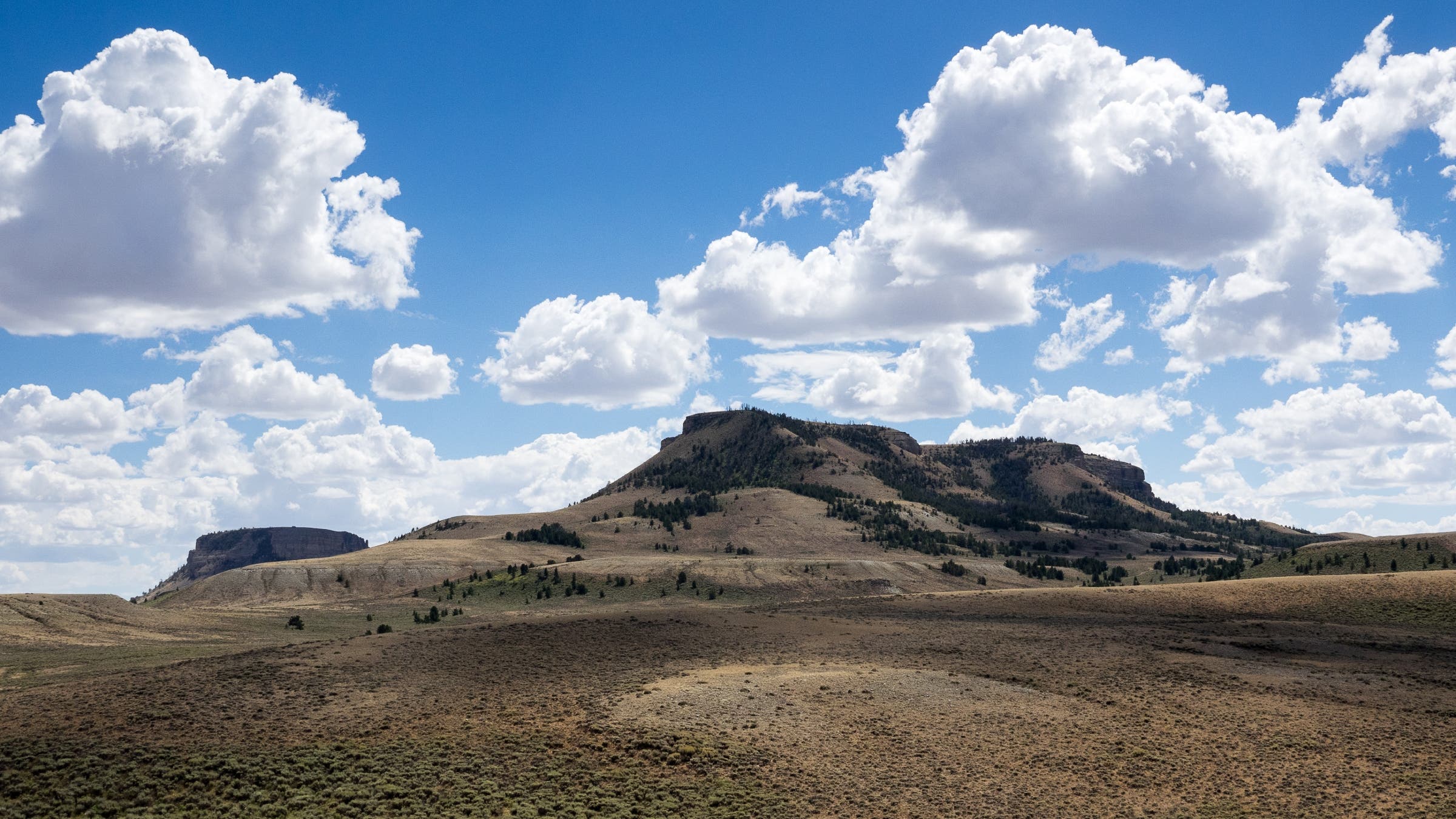
I halt with a jolt as I process our words. Directly ahead, bathed in mottled sunlight, we see a 50-mile line of jagged bedrock mountains running parallel to the Sweetwater River. This is the first matching topography when coming from the east. Exactly where Moncacht-Apé said, there’s a forgotten range called the Granite Mountains.
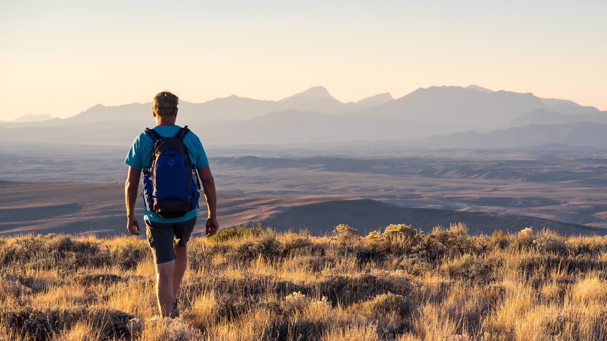
A few days later, I continue west and scramble up the crumbly Oregon Buttes. The summit offers a wide view of the region surrounding South Pass, the easiest historical route over the Continental Divide.
The Kanza said that beyond the divide, Moncacht-Apé would find a beautiful river that was home to the Otter Nation. As he passed the western Granite Mountains, the jagged Wind River Range would come into view. This ominous barrier was likely what prompted his reluctant decision to bear north toward a distant basin.
Luckily, before turning too early, Moncacht-Apé spotted campfire smoke. It was the Otters: their bison-hunting party of 30 was surprised but welcoming toward this solo traveler on the high plains. Communicating with hand signs, they described a better path to the river flowing west. He could join a husband and pregnant wife returning to their village.
But who were the Otters? A tribe by that name is seemingly lost to history. My hypothesis is a band of the Shoshone; this widespread tribe of the Rocky Mountains became known for Sacagawea and the Lemhi Shoshone, who offered vital assistance to Lewis and Clark several hundred miles to the north.
I drive through rugged foothills to Fort Washakie on the Wind River Reservation in Wyoming. At the Eastern Shoshone Cultural Center, I meet with Robyn Rofkar, a cultural director overseeing the Eastern Shoshone’s efforts to build a permanent museum. My first question is about the Otter Nation.
“Oh,” says Robyn, pointing over my shoulder at a wall-hung otter pelt.
We tour the displays. Otter fur is everywhere. Historical photos show it twisted into the long hair of tribe members. Shoshone leaders wore ceremonial tippet collars of otter fur. During the Lewis and Clark expedition, Chief Cameahwait gave Lewis one to wear. The distinctive collar impressed Lewis so much that he took it back to Washington.
Nicknames among tribes were common, Robyn explains, before recalling something else. During the past two centuries, so much Indigenous knowledge was lost due to forced relocations to reservations and boarding schools. Occasionally, pieces of tribal history are rediscovered.
Robyn spreads out a large map depicting how the Shoshone homeland was repeatedly reduced by the U.S. government. Eventually, the Shoshone lost access to one of their best bison-hunting grounds. Robyn points at the confluence of the North Platte and Sweetwater Rivers, just south of the Granite Mountains in Wyoming—the same area matching Moncacht-Apé’s descriptions of where he encountered the Otter hunting party.
To unravel his next steps, I drive north from South Pass along the western foothills of the Winds. Around here, Moncacht-Apé followed the Otter couple roughly north into the cold for five days to reach the river flowing west. When white trappers came in the early 1800s, they found a strikingly similar route with help from Shoshone guides. I stop in Pinedale, Wyoming, to meet with Clint Gilchrist, director at the Museum of the Mountain Man. Standing at a map, he points out this historical route through the mountains.
I follow the route through winding Hoback Canyon into the southwestern corner of Jackson Hole. When travelers today hear about the Tetons, they think of three jagged peaks with elevations around 13,000 feet inside Grand Teton National Park. At the southern end of the range, there’s an easier crossing. I park where Old Pass Road dead-ends at the lesser-known History Trail. Lacing up my shoes, I march uphill, gaining 2,000 feet in four gradual miles. After less than two hours on a soft-dirt path through dense forest, I emerge atop Teton Pass at 8,431 feet.
Returning to my vehicle, I follow the historical route through southern Teton Valley, Idaho, once called Pierre’s Hole by trappers. A gradual crossing of the Snake River Range at Pine Creek Pass leads to a vast volcanic plain in Swan Valley, where farming combines send up dust plumes while harvesting golden wheat. I find a beautiful stream running through the valley, flowing toward the Pacific. It’s the Snake River.
From here, Moncacht-Apé followed the Otter couple downstream to their village. The paddling expedition that followed provides strong evidence that this happened on the Snake: The Yazoo explorer joined an Otter canoe party traveling downriver for 18 days—a feat that was likely impossible on the more mountainous rivers to the north. The canoe party was visiting a nation that represented the easternmost speakers of a different language spoken farther west, toward the coast. Ultimately, Moncacht-Apé would winter with them to learn their widespread language.
By September, I’m crisscrossing the Snake River Plain in search of this different nation with a different language. From linguistics research, I suspect that Moncacht-Apé parted with the Otter canoe party, AKA Uto-Aztecan-speaking Shoshone, somewhere around Farewell Bend in present-day Oregon. From there, the overland trail veered away from the Snake River and entered the Blue Mountains, where the dominant language family transitioned to Sahaptin. Moncacht-Apé likely spent the winter with a Sahaptin-speaking group, such as the Nez Perce, Cayuse, Umatilla, and Walla Walla. In the 19th century, the latter three were relocated to Pendleton, Oregon, eventually becoming the Confederated Tribes of the Umatilla Indian Reservation (CTUIR).
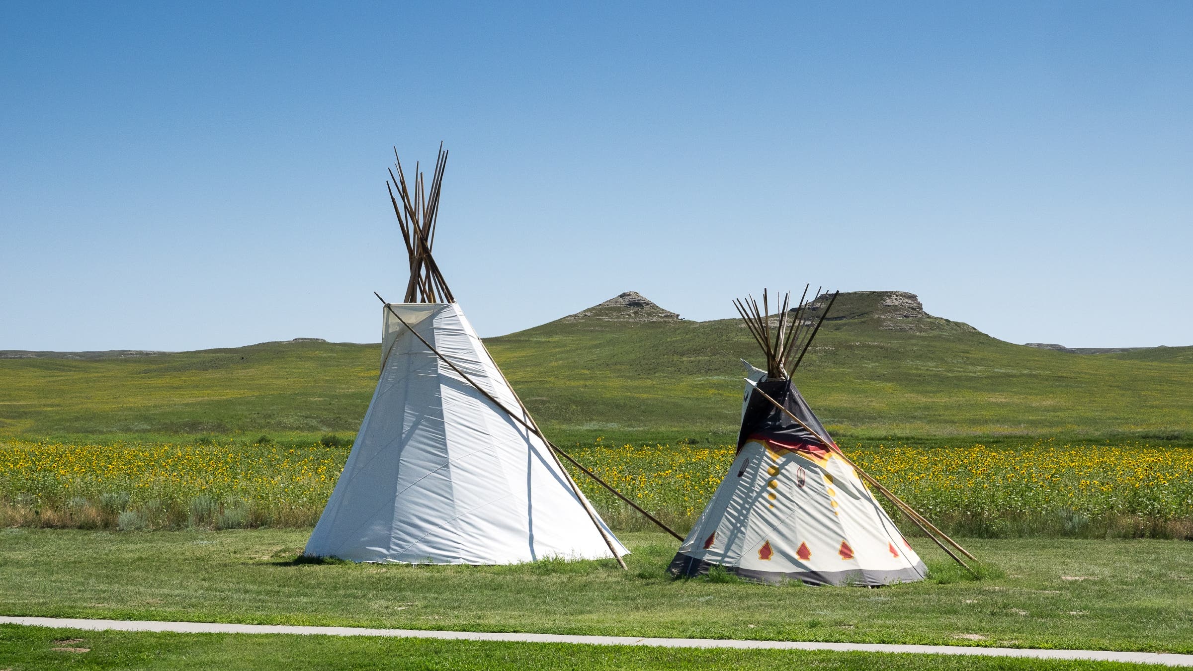
Today, CTUIR operates the impressive Tamástslikt Cultural Institute, a major Native museum and research center on the Oregon Trail. I arrange a visit coinciding with the Pendleton Round-Up, a raucous rodeo that includes tribal events. It’s a great chance to learn about regional cultures and history. There’s just one catch: the Round-Up has an unofficial dress code.
Wearing a cowboy hat, western shirt, blue jeans, and hiking shoes, I mosey through the tepee village with a notebook in hand. Rising overhead, stadium bleachers are full of spectators roaring at bull riding and Indian Relay Races.
“What’s your deal?” asks a skeptical teenager sitting on a cooler inside a tepee.
I babble something about being an outdoor writer dressing up like a cowboy to investigate a mysterious Native explorer. I don’t think the young man is too impressed.
Other tribe members are interested, including Thomas Morning Owl, a Umatilla traditionalist and language keeper, who I speak with about the clues. In this region, Moncacht-Apé mentioned meeting tribal elders and trying new foods, including a delicious porridge prepared “from certain small grains, smaller than French peas,” Moncacht-Apé told Le Page. “And although it grows unsown, it is better than any other grain that I have ever eaten.”
I call this the French pea problem, and I can’t claim much progress since reaching the Pacific Northwest. Thomas confirms the Sahaptins didn’t eat many grains. I’ve begun to wonder if this food source was actually a root, which the regional tribes gathered and ate in abundance. Blue camas is the best-known, but the bulbs are too big.
The Round-Up is a rowdy but entertaining experience, including the Happy Canyon Night Show, a musical pageant that tells a Disneyfied history of cowboys and Indians on the Western Frontier. Over at Tamástslikt, I discreetly change out of my cowboy getup in the parking lot. Inside, I meet with director Bobbie Conner, who shows me the museum while sharing fascinating insights about Sahaptin knowledge and history.
“There’s an assumption from U.S. scholars that only white people were explorers,” says Bobbie, who traces her ancestry to the Umatilla, Cayuse, and Nez Perce peoples. She mentions that the confederated tribes have oral history about a mysterious traveler from the east, before the days of Lewis and Clark.
Bobbie shares that some non-Native visitors seem surprised during tours, not expecting her to be so well-educated. Her response is an inside joke that’s similar to how friends will add the words “in bed” after seemingly innocent comments. “You’re so well spoken,” surprised visitors might say after a tour. Bobbie’s reaction is to whisper to herself: “For an Indian.”
Bobbie’s spunky sense of humor feels so familiar. Perhaps it’s because both of us have lived in Sacramento, California, where my mom grew up in a boisterous family with five sisters. The thought briefly fills me with wrenching memories from recent years. At the end, as my mom increasingly struggled to walk, she still might crack an unexpected joke. Even as she lost the ability to speak, she tried to ask questions about my research.
I snap back into the moment as Bobbie brings me to the Tamástslikt library. The staff offers help investigating various clues, including the French pea problem. Later that week, I learn a tribal food expert is in the museum’s Seasonal Round exhibit area.
I head over to speak with Linda, a quiet elder stringing beaded necklaces while sitting behind a display table with dried roots and berries. After describing Moncacht-Apé’s journey, I read the relevant passages and ask about roots. Without hesitation, Linda points at some finger-shaped bulbs.
“Well, this is cous,” she explains, pronouncing it “cowsch,” and describing an important food also known as biscuitroot. “And this is cous when it’s ground.”
She points at a bag filled with ground cous root. The small pieces are the same size as French colonial peas. She describes how ground cous was made into a popular porridge, not unlike oatmeal. We sit for a while, chatting about this discovery and other topics. When I ask for her last name, I mishear and request the spelling.
“J-O-N-E-S,” she spells.
“Oh, Jones,” I repeat, embarrassed.
This gets us talking about the nature of tribal names, including two elders Moncacht-Apé mentioned, Salt Tear and Big Roebuck. Among the Sahaptins, such names were once given to all members by fellow tribespeople. Then the U.S. government passed assimilation laws, forcing Natives to adopt Euro-American names. But the naming ceremonies continued for some, at first discreetly and later openly. Today, according to Bobbie, around half of the tribe continues the practice.
Linda says she was lucky to have been given a tribal name by her grandmother, who as a child rode on horseback to gather wild roots.
“E-yoh-witz-a-my,” she says softly before sharing the meaning. “How a swan lies on water.”
In Olympic National Park, during early October 2025, I have one chance to reach the giant yellow cedar before storms arrive. On a foggy morning, I start shortly after dawn. My legs ache from yesterday’s failed attempt.
It’s drizzling when I shimmy over the downed-tree pile and clamber up the flood-torn cliff at Big Creek. Midway, I step on a rock that breaks free and falls 30 feet into the water below.
“Whoa,” I blurt, clinging to tree roots while feeling for a better foothold. After hoisting myself onto the trail, I resume hiking up the deadfall-strewn slope.
By now, I feel confident that Moncacht-Apé accomplished his journey. The details he described would not have been available to a Frenchman like Le Page when he published his 1758 book, not unless Moncacht-Apé was a real explorer who described his experiences from these precontact places.
After parting ways with the Sahaptins, Moncacht-Apé canoed solo down the Columbia River toward the Pacific. What happened next was a complicated episode that U.S. historians called implausible for several reasons, causing most to dismiss the journey as fiction. In part, the Yazoo explorer described reaching the Olympic Peninsula during a period of conflict between coastal tribes and mysterious raiders from the sea.
“These strangers came from where the sun sets,” said Moncacht-Apé. “To seek on the coast a yellow and stinking wood that dyes a beautiful yellow.”
I’m exhausted but excited upon reaching the giant yellow cedar, just as clouds break overhead. A worn sign indicates a 12-foot diameter and height over 120 feet. Sadly, the giant appears to be dead, but a new shoot—a regrowth of yellow cedar—is sprouting from the lower trunk. In the surrounding grove, there are hundreds of living yellow cedars. Some are old and massive, others young and skinny.
I hold no belief that Moncacht-Apé came up this rugged mountainside. This just happens to be the remote location of a rare remnant grove on the Olympic Peninsula. In fact, a line in the Yazoo explorer’s account suggests the range of the yellow-wood tree was already receding inland at the time of his visit. I am up here to see if the explorer’s descriptions of the yellow-wood tree match the distinctive yellow cedar, which is known for its scraggly bark and drooping branches.
“We call them Oscar the Grouch trees,” one park ranger told me.
Searching the grove, I find a branch freshly broken from recent winds. Because yellow cedar is not typically used to produce dyes, it hasn’t historically been considered as the tree that Moncacht-Apé described. However, as my project progressed, and I learned how often Native cultures and knowledge were misunderstood by white people, I began to wonder if our differences had caused misinterpretations by Le Page and subsequent translators. So, I began studying French vocabulary and contacting experts to create a new collaborative translation of the original account that better matches Moncacht-Apé’s words, which I use when quoting him in this article. The words the Yazoo explorer used to describe the tree, “teint” and “teintures,” can also mean “color” or “tinted,” suggesting he was referring generally to a beautiful yellow wood that was valued by tribes for artisanal purposes.
I kneel down and put my nose to the yellow heart wood. I inhale a distinctively pungent and potato-like aroma. Yellow cedar might be a match.
“During winter, like the bear, I seek a shelter,” Moncacht-Apé told Le Page about his travels. “And in summer, I imitate the eagle, who wanders around to satisfy his curiosity.”
In the late 1600s, at a village somewhere on the Pacific Coast, Moncacht-Apé was advised by elders that the coastline farther north became increasingly inhospitable. After consideration, the Yazoo explorer began his long journey home.
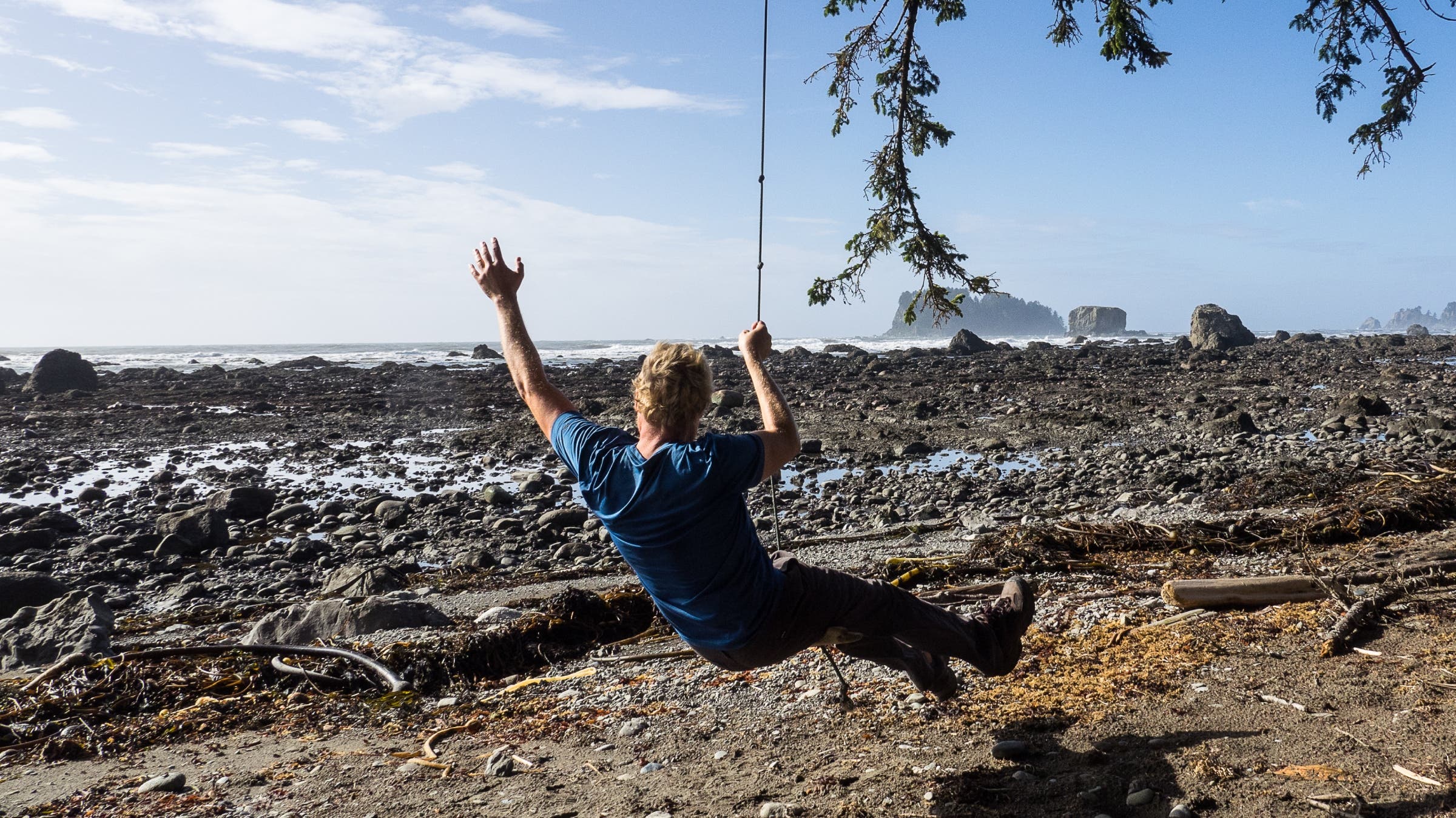
Three centuries later, I hike out to the rugged coast, where waves crash against basalt cliffs topped with red cedars. For more than a year, I’ve been searching for Moncacht-Apé—to understand who he was and where he went. At one time, I thought my journey might also end here. Now I realize there’s a long way to go. I need to meet with peninsula tribes and search for signs of yellow cedar. I need to find the raiders from the sea, with my research pointing in an unexpected direction.
I can’t claim disappointment about continuing this adventure. After the horrific end of my mom’s life, I needed something to throw myself into. That got me investigating. What convinced me that Moncacht-Apé’s journey truly happened was the stunning new evidence found together with Native people and others across the country.
Now I stand on a coastline that perfectly matches Moncacht-Apé’s story. I believe this Yazoo man from an extinct tribe was one of the greatest explorers in American history. From the Mississippi Valley and across the Great Plains, over the Rocky Mountains, and down the Columbia River to the Olympic Coast, nearly everything Moncacht-Apé told us turned out to be true.
This article is from the Summer 2026 issue of Outside magazine. To receive the print magazine, become an Outside+ member here.