

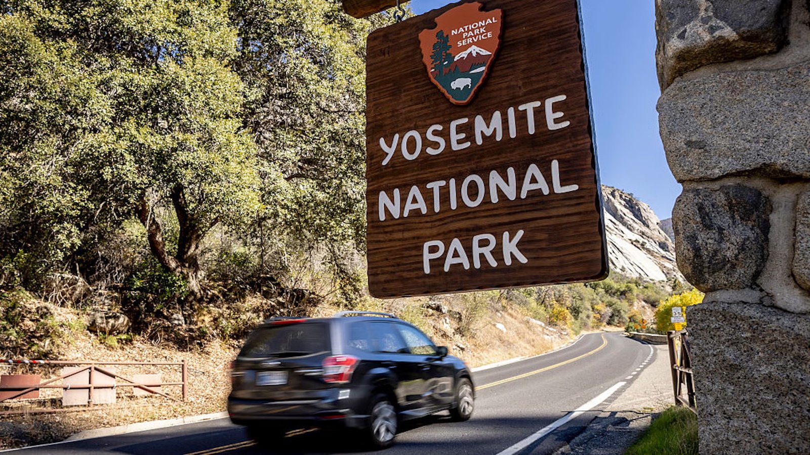
DeFlock claims that Yosemite National Park has installed the controversial surveillance technology. The NPS says the cameras are part of a system to monitor congestion and parking.
Amid a summer of overcrowding and traffic concerns, the park’s website says the cameras are license-plate readers designed to reduce wait times (Photo: San Francisco Chronicle/Hearst Newspapers via Getty Images)
Published August 17, 2026 01:54PM
Is Yosemite National Park using Flock cameras?
A crowdsourced organization that compiles locations of surveillance cameras around the United States recently reported that there were at least five cameras inside Yosemite.
DeFlock.org, a volunteer-run project that lets anyone add camera locations to a public map, tracks automated license plate readers across the country. The group created its database in response to the camera company Flock, a brand that sits at the center of a national debate over plate-reader data sharing.
Data compiled by DeFlock show at least five pins that appear to be within Yosemite’s park boundaries.
But a spokesperson with Yosemite National Park pushed back on the data.
“Yosemite National Park does not use Flock cameras, license place readers, or Flock software,” the spokesperson told Outside.
Instead, the park has installed a system of cameras inside the park as part of a traffic-monitoring program used for purposes of managing parking and congestion.
“Not for law enforcement purposes,” the spokesperson said. “No concessioner or outside entity is involved in operating these cameras.”
Amid a summer of overcrowding and traffic concerns, the park’s website says the cameras are license-plate readers designed to reduce wait times. After Yosemite dropped its vehicle reservation system for 2026, it has faced heavy crowding and is under pressure to better manage traffic. Outside contacted NPS for clarification on who manufactures its cameras, but did not receive a response in time for publication.
Yosemite’s website says seven camera locations are currently in use, with four measuring wait times at the Arch Rock, South, and Big Oak Flat entrances and the park boundary at Highway 140. There is also one camera at Chinquapin that counts cars on Glacier Point Road, and two that count cars entering and exiting the East Valley.
Five of Yosemite’s entries were tagged as Flock cameras on DeFlock in June by a single contributor. Another, in eastern Yosemite Valley, was added on August 11 by a different DeFlock user, and identifies the manufacturer as Axis Communications, a Swedish camera maker. However, none of the DeFlock entries include a source note, photograph, or verification date. DeFlock is volunteer-driven, built on OpenStreetMap data, and warns that entries may be missing, moved, or misidentified.
But this data is not accurate, the NPS said. The NPS spokesperson said the cameras are made by Axis Camera Systems, but said that no outside third party has access to the images captured by the system.
According to the park, the cameras are in place to address congestion. Cameras can read the same license plate at two separate locations, revealing the park’s entrance wait time and parking availability. This information is then published in real-time on the park’s website.
“The system is used to measure vehicle counts, travel times, and entrance-station wait times,” the NPS spokesperson said. The cameras use “optical character recognition of license plates,” to determine whether a vehicle at one location has then traveled to a different point in the park.
“Allowing the park to calculate travel times,” the spokesperson added. “The cameras are not connected to law enforcement or DMV databases.”
NPS writes on its website that images are kept for 30 days, and an anonymized text record is retained indefinitely as a history of park visitation comparable to traffic counts.
NPS says that information from its plate-reader system is generally not provided to law enforcement, but there are exceptions. Policies vary by park unit, but recorded information can be provided to help locate a vehicle for a valid, active law-enforcement purpose or to assist in a search for a missing or at-risk person.
In 2022, the Department of the Interior published a privacy assessment for NPS’ camera systems, describing them as being used to “scan license plates and identify associated current law enforcement issues for awareness or action.” Every plate is automatically checked against state law enforcement systems linked to the FBI’s National Crime Information Center, returning an indicator of whether it is tied to a “BOLO, Amber alert, warrant, hot list.” The assessment does not name specific parks. Outside asked the NPS whether Yosemite’s cameras fall under the assessment, but did not receive a response.
In July 2026, the National Park Foundation awarded 18 innovation grants totaling more than $10 million across 21 national parks. Yosemite Conservancy received one to work with the park on designing “a unified, park-wide system that integrates real-time data on traffic, parking, and road conditions into automated, multi-channel visitor information.”
The grant funds design work. The NPS has not yet made public what it will adopt or what privacy rules will govern it.
