

Published November 7, 2026 03:43AM
In 2017, National Park Service (NPS) climbing ranger Quinn Brett, 36, fell while ascending El Capitan in Yosemite National Park. The 120-foot drop left her paralyzed from the waist down. In a moment, she went from climbing soaring rock faces to moving in a wheelchair.
Like many Americans with mobility disabilities, Brett faced challenges when she returned to outdoor places like parklands, trail systems, and even national parks. Some of America’s wildest places were no longer accessible to her.
“To become disabled, and realize that I can’t even get across the street because there isn’t a curb, for instance, was quite a change in perspective,” she told Outside.
That’s why Brett founded the accessibility consulting firm Dovetail Trail Consulting to make outdoor spaces more accessible and usable for everyone. With her help, the Bureau of Land Management (BLM) launched a new interactive accessibility map on October 13, connecting visitors with trails, bathrooms, and campsites that are accessible to people with mobility disabilities.
“People with disabilities don’t want to just go to the one-mile paved trail in the busiest parts of our national parks,” Brett said.
As part of the BLM map, visitors can snap photos of public lands and submit them, along with detailed descriptions of the infrastructure. Other users can then better understand accessibility before they hit the trail.
“You don’t have to do a construction project,” Brett said. “Just take pictures.”
What the BLM’s Accessibility Map Offers
Nearly one in ten Americans have mobility issues, according to the Centers for Disease Control and Prevention. For these people, Brett says enjoying the outdoors is not just about finding the right device, but also finding trails that are made for wheels.
“For a long time we only had one pair of shoes to pick, but now with mobility device technology, we have a whole bunch of types of shoes that we get to choose from, and we want to go use our shoes in a variety of places,” Brett said.
Kevin Oliver, chief of the BLM Division for Recreation and Business Services, participated in the three-year map project. He told Outside that the goal is to help people plan their trip and avoid surprises from site conditions.
“We’re going to continue to work to deliver more information and better information to the recreation public, so that all types of interests can be served,” Oliver told Outside. “The BLM recognizes the work is never really done. You know, we’re always perfecting it.”
The map includes 50 existing accessible recreation opportunities. One such example is McCoy Flats in Utah, a map entry that shows the parking lot’s packed gravel, extended picnic tables, and the entrances to vault toilets.
The tool also identifies 74 additional sites where the BLM has proposed improvements. Some, like Colorado’s Blue Valley Ranch Trail, are fully funded and in progress. Others, such as New Mexico’s Glade Run Adaptive Trail, are still hunting for funding.
BLM’s new map is one piece of a broader push to expand trail access across federal agencies.
Access Starts Before the Trailhead
Gathering the information is only the beginning. Julia Ray, chief operating officer of the adaptability nonprofit Move United, told Outside that keeping information up to date matters just as much.
“Trails are kind of living things,” Ray said. “They change with weather and seasons, so it has to be an ongoing process to keep that information current, and where and how that information is shared is still inconsistent.”
Move United partnered with Mount Rainier and Grand Canyon National Parks to assess more than 17 miles of trails for accessibility. The organization also created a free trail-access course to help local land managers understand federal accessibility standards.
Improving access at popular trails is a great way to let more people share in the national park experience, Ray said.
“If the public go to a trail more than others, that’s probably where anybody else would want to go as well,” she said. “Everybody deserves the right to access the outdoors, and we are just really excited that there’s some energy around this right now.”

Moving Beyond the One-Mile Paved Trail
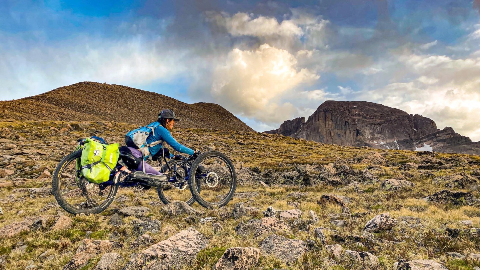
For trail users like Brett, having accessibility details means she can spend less time guessing and more time choosing where to go, what equipment to bring, and how much challenge she wants to take on. Her desire to be in the mountains hasn’t gone away, and as she says, it never will.
“I still want to be playing and going to the top of mountains and doing wild and crazy things,” Brett says. “But I also need the information to decide what experience I want.”
She added that including people with disabilities in trail assessment and information gathering can help land managers identify barriers. Some mobility devices can navigate rocks, roots, and steps; a narrow bridge or gate might stop someone instead.
“Five miles of the trail might work totally fine, and then there’s a bridge to cross some water, and they just threw down a 12-inch bridge, and after that, there’s five more miles of trail that work just fine,” Brett said. “But if you’ve never hung out with somebody with a disability, then you might not know what is truly a barrier.”
