

Updated November 13, 2026 01:59PM
A 17-year-old search-and-rescue volunteer helped locate a lost 88-year-old hiker in Northern California after conventional cellphone-tracking methods failed.
The volunteer rescuer, named Cody Davis, eventually used FaceTime to take control of the hiker’s iPhone screen and retrieve her GPS coordinates.
“I’m not a super tech person,” Davis told Outside. “But I’m young, and it’s easy for us to figure stuff like that out.”
The woman was found uninjured on November 10 at Mount Burdell Preserve, near Novato, California, after becoming separated from her hiking companions. Molly Williams, operations director for Marin County Search and Rescue, told Outside that the woman had gotten off the trail and headed downhill, although it remains unclear how the separation happened. Her companions tried unsuccessfully to locate her before calling for help.
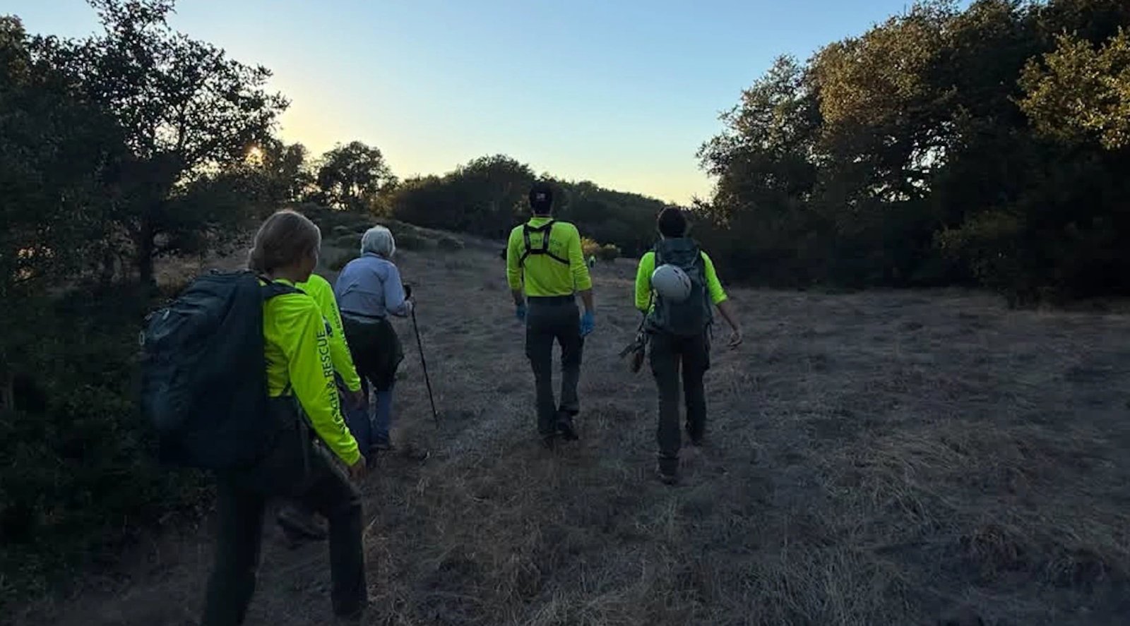
Around 50 members of Marin County Search and Rescue mobilized to search the preserve. Williams, who oversaw the operation, said rescuers received the call around 2 P.M. and located the woman around 4 P.M.
When Rescue Tech Failed, a Teenager Took Over the Screen
A report of the rescue mission was published on the Marin County Search and Rescue group’s Facebook page.
Davis, a high school senior, was among the first search and rescue volunteers to arrive on the scene. According to Williams, Marin County’s search-and-rescue team accepts volunteers as young as 14.
“Probably a third or more of our members are high school age, and they are full members,” Williams said. “They respond in the same ways as the adults.”
Before rescuers arrived, 911 dispatchers had also tried and failed to pinpoint the missing hiker’s position by phone. When Davis got to the command post, he called her to ask about her surroundings, but Mount Burdell’s rolling hills and scattered trees offered few distinguishing landmarks. Attempts to track her through CalTopo, a search-and-rescue mapping platform, and Apple’s Find My Friends feature were also unsuccessful.
Davis eventually connected with the woman over FaceTime and asked her to show him the terrain. When that didn’t help, he remembered hearing that newer versions of FaceTime allowed users to remotely control another person’s iPhone screen with permission.
“I was able to remotely access her screen, which was weird,” Davis told Outside. “I’d never done that before, but I just sorta figured it out.”
At that point, Davis had already spent roughly an hour and a half on the phone with the hiker, he told Outside. Their calls kept dropping, and although the woman was unfamiliar with some of her phone’s features, she worked with Davis as he patiently explained each step.
“She was great, and was as helpful as she could be, being unfamiliar with the device,” Davis said. “She was a good sport.”
A Race Against a Dying Phone Battery
As darkness approached and the hiker’s phone battery drained, Davis managed to access her screen, adjust several location settings, and retrieve her GPS coordinates using the Maps and Compass apps. He immediately relayed them to search teams in the field.
Williams credited Davis’s persistence with helping searchers reach the woman sooner.
“The searchers would have found her eventually, but we found her a lot faster because Cody figured that out,” she said.
Shortly after Davis relayed the hiker’s coordinates, their call disconnected again. By the time he reconnected over FaceTime, rescuers had located the woman.
“I called her back just as teams were approaching, and we all saw the moment the first team made contact with her while she was on FaceTime,” Davis said. “It was ultimately a cool experience.”
Rescuers helped the woman return to the trail, and Williams said she walked out with them in good spirits.
What Search and Rescue Wants Hikers to Know
Williams urged hikers to stay with their companions, particularly when members of a group move at different speeds.
If you lose your bearings, Davis advised staying on established trails rather than heading downhill in hopes of finding a road or another path. Search teams typically check trails first, he explained, and leaving them makes it harder for rescuers to find you.
He also recommended that hikers learn how to retrieve GPS coordinates from a phone’s Maps or Compass app before heading out, so they can relay their location directly to emergency responders.
Ultimately, Williams pointed to several advantages the woman had when she lost her way. She carried a charged phone, had cell service, and answered when rescuers called.
“Often when we get called for a search, somebody doesn’t call until their phone is dying, or they’ve used their flashlight for so long that the phone is dying,” she said. Starting out with a charged phone and knowing how to share coordinates can make all the difference when a routine hike takes a wrong turn.
